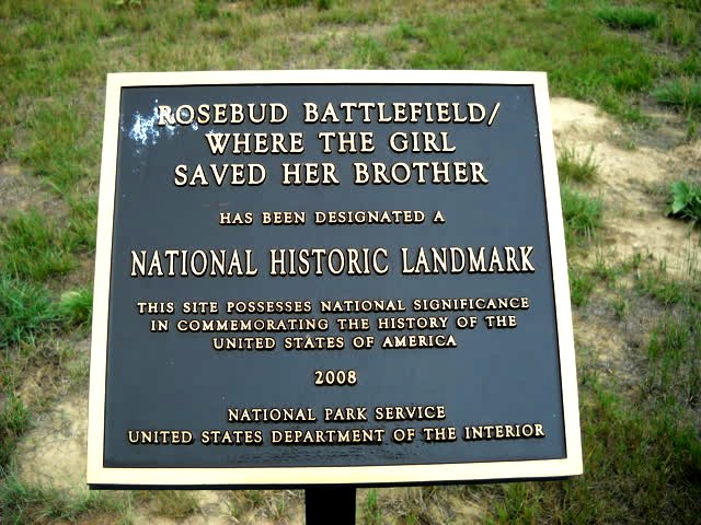
 Informational plaque.
This photo essay is based on the earlier one in the link above.
 September 19, 2013
My Harley and I made a run to the Rosebud Battlefield State park near Kirby, Montana.
All the photos here were taken using a Nikon L-19 digital camera.
Looking west.
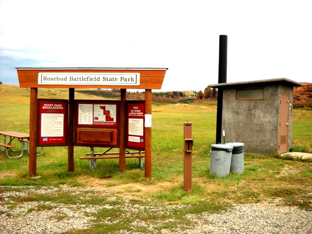
This photo shows the new look at the park entrance.
Informational plaque.
This plaque is directly behind the entry kiosk in the above photo.
 Looking north.
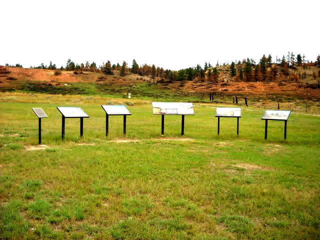
More informational plaques.
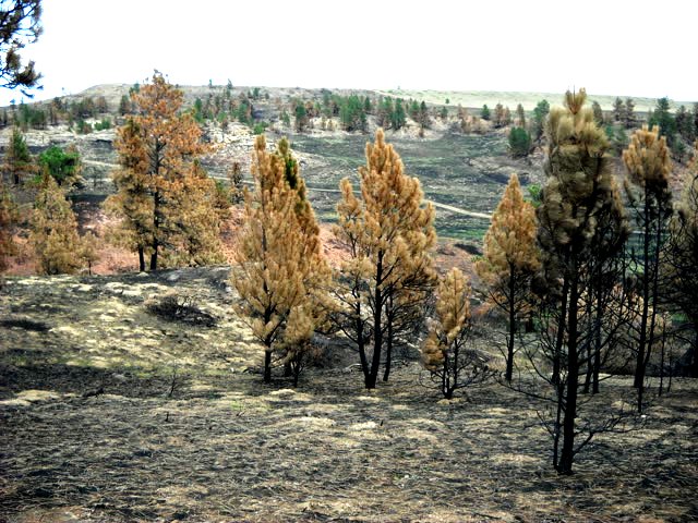
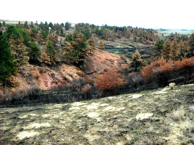
The orange color in the background is soil which has the vegetation burned away.
 Looking northeast.
The burned area is already showing a little 'green' of new vegetation.
The buffalo jump cliffs are just out of the picture to the top left.
The wildfire was caused by lightning on August 23, 2013. The fire was initially suppressed but re-ignited again on August 26. The park was closed until September 5th during firefighting and post firefighting observation.
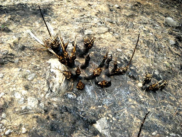 Remains of a 'yucca' plant.
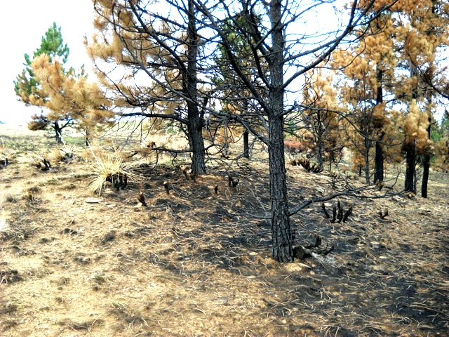 Trees near the little shrine, pictured in next photo below.
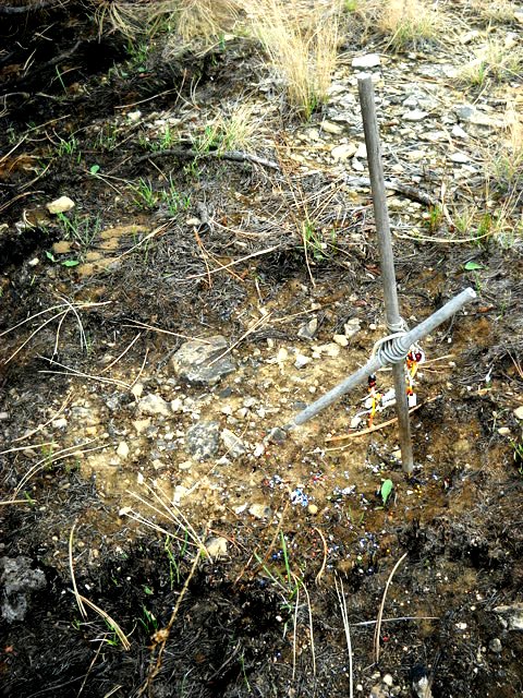 The little shrine was within the burned area, but the cross still stands.
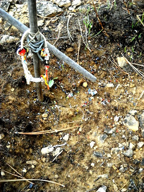 The beaded dreamcatcher succumbed to the heat.
Lots of it's beads can be seen in the soil below the cross.
 Looking southeast.
The eastern fireline is just before the trees accross the valley to the right.
 Looking northeast.
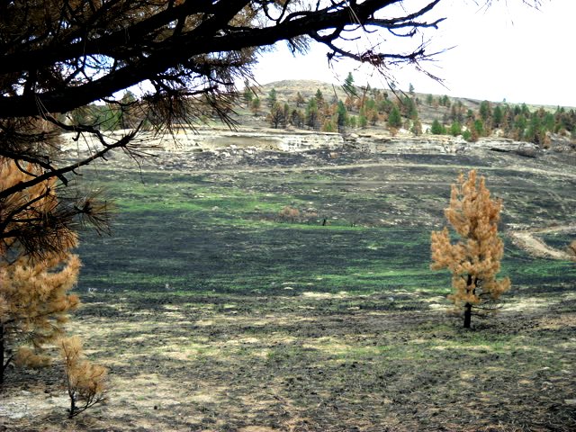
That which looks like a road is actually the northern fireline bulldozed into the ground.
Most of the permanent damage to the park is due to the earthmovers used to build the firelines to contain the blaze.
The burned areas at ground level will renew next spring due to the growth of new grass. The fire will open the cones of the lodgepole pines already on the ground, causing the trees to start growing again, also.
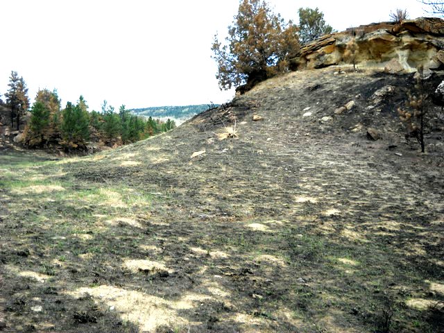
 Looking east.
The cliffs of the Buffalo Jump accross the valley.
 Looking south.
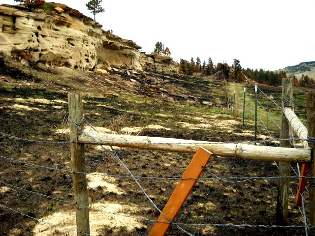
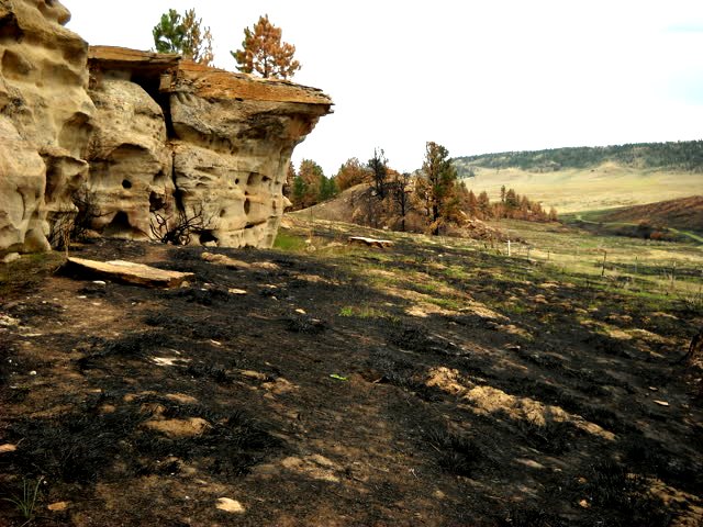
This is at the northern end of the Buffalo Jump cliffs.
The park service fenced off the cliffs at the end of summer 2011.
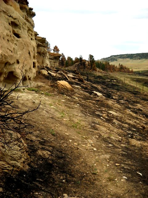 Looking south.
Close to the cliff.
I did not take any pictures of the petroglyphs on this day. You can see them by following the other link above at the top of this essay.
 Looking south.
Near the south end of the cliffs.
 Looking south.
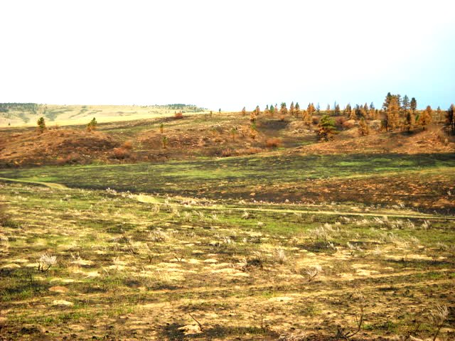 Looking southwest.
The upside down tree top got burned and was accross the valley and about halfway to the left in this photo.
 Looking north.
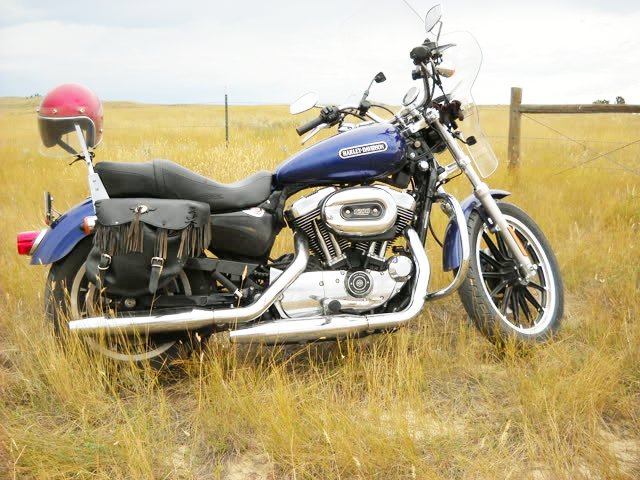
My 2006 Harley Davidson XL1200L.
I just bought this motorcycle August 21, 2013.
This was one of it's first trips with me.